The walk down the bike-strewn path from my apartment to Chaoyang Park via Solana over the past six months has not been a particularly scenic one. Ever since the massive renovations of Liangma River were announced in February of last year and began shortly thereafter, a range of new but not exactly tourist-luring features descended on the neighborhood. These have included but are not limited to mounds of construction debris, ragged and bent astroturfed metal walls, and the occasional but shudder-inducing waft of weeks upon weeks of stale worker piss.
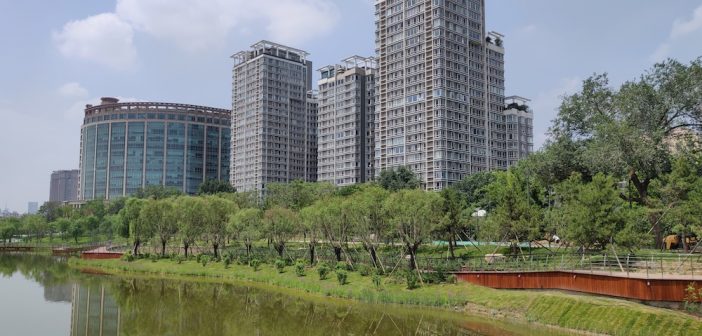
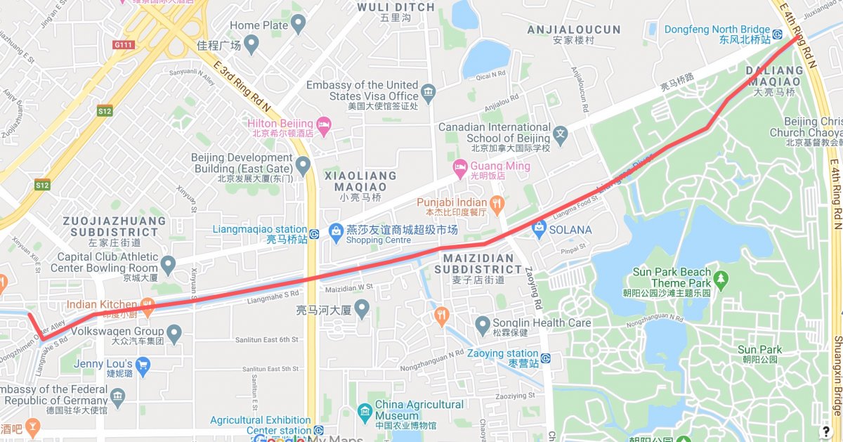
Luckily these quirks are merely the temporary byproducts of men hard at work and as the overhaul nears completion, running the length of the river from Xindong Lu up to the East Fourth Ring Road, the unsavory sights and smells are gradually parting to reveal what’s shaping up to be one of Beijing’s lushest linear ecological spaces.
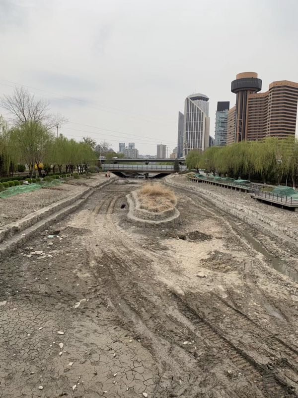
You can’t help but wonder what weird and wonderful things were found at the bottom of the river
When the plan to dredge the river and develop 9.3km of its banks was first announced close to 15 months ago – a means to help reduce air pollution and manage flooding – the government also billed it as a green, tourist-friendly, leisure hub. Judging by what has opened so far, we’re inclined to agree, though let’s hope the official name, “Liangma River International Waterfront Area” doesn’t stick, lest we tempt destroying the quaint charm of its paved paths, weeping willows, and swimming retirees.
We should add that there doesn’t appear to be a dedicated running track along the river, which shouldn’t be too much of a problem given the generous width of most of the paths.
Hopping on our bike on a photography tour earlier this week, we tracked the river from its northeast corner down to the west. Here’s what we found.

While the Solana side is almost complete, the Chaoyang Park portion looks to be done by year’s end.

A bridge further to the west allows apartments on the north bank to cross directly into Solana
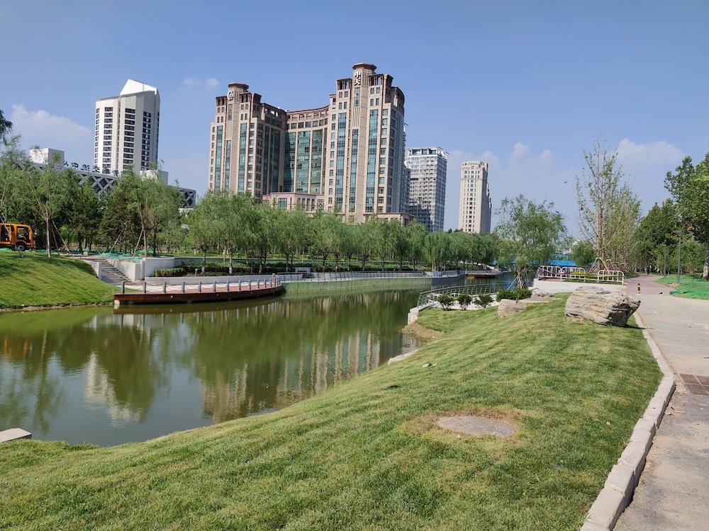
Finishing touches are still being added to the portions north of Solana’s west gate
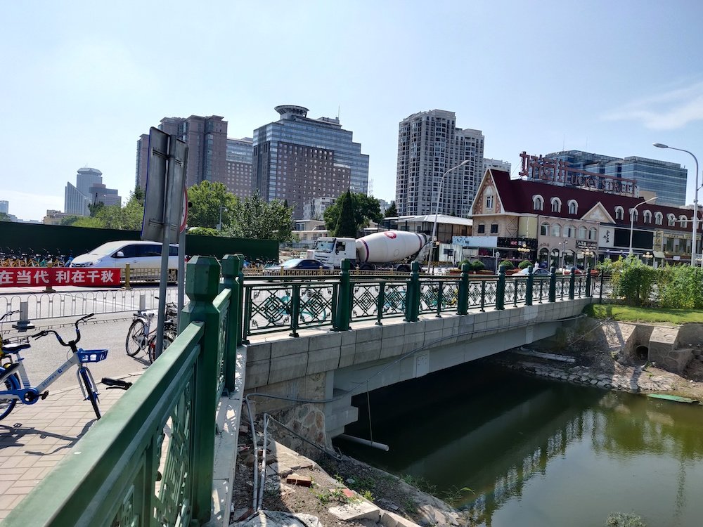
And just across the road, workers continue plugging away behind the green fences

The river reopens just west of Maizidian Jie

While hosepipes still line the ground, this portion is almost complete and particularly lush

Looking east up towards Solana

The north bank sits against the backends of Liangmaqiao Lu’s hotels and provides plenty of free space.
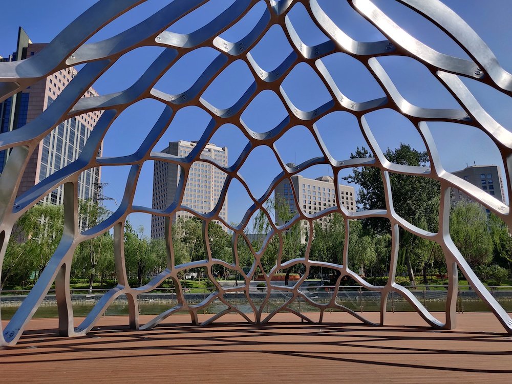
As well as a little shade courtesy of a netted sculpture
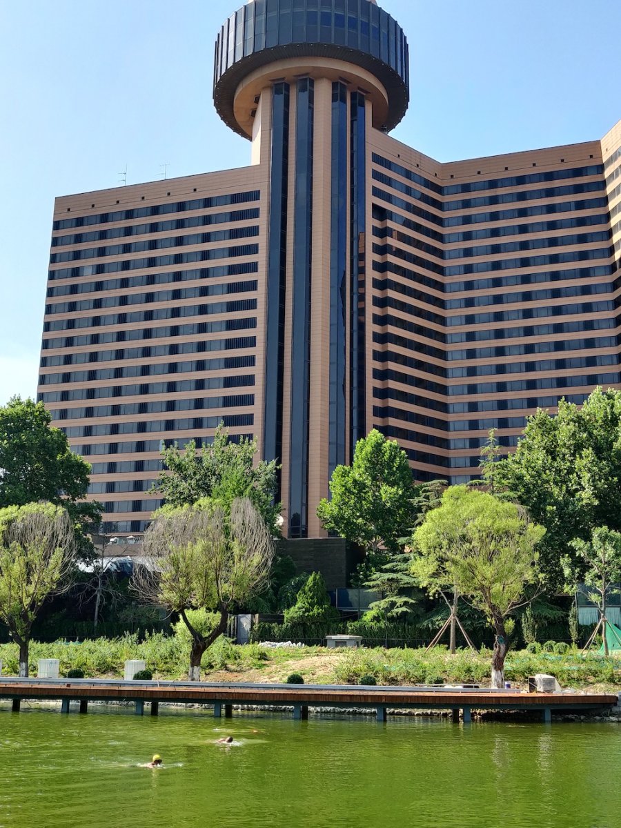
Swimmers are already enjoying the relatively clean waters
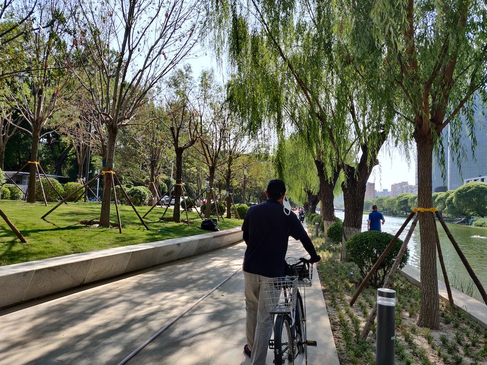
So too are the cyclists. Let’s hope Beijing’s waimai army doesn’t join in.
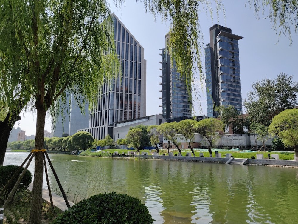
A view from the south to north bank, still closed

Steps down to the river allow swimmers easy access

Finally, crossing Xindong Lu, construction is still ongoing and seems like it will be the last portion to complete

Despite the mess…
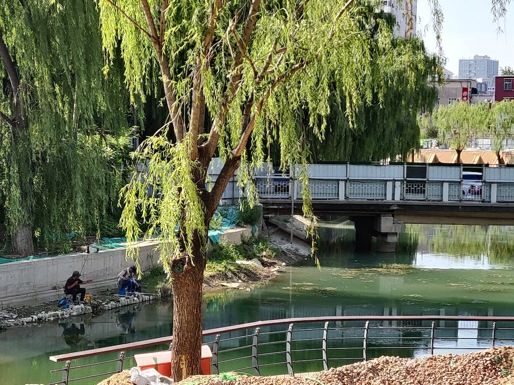
…The local fishermen seem unperturbed
KEEP READING: Exploring Shunyi’s New Dongjiao Wetland Park
This article originally appeared on our sister site, theBeijinger
Images: Tom Arnstein, Google Maps, Bill S.

